
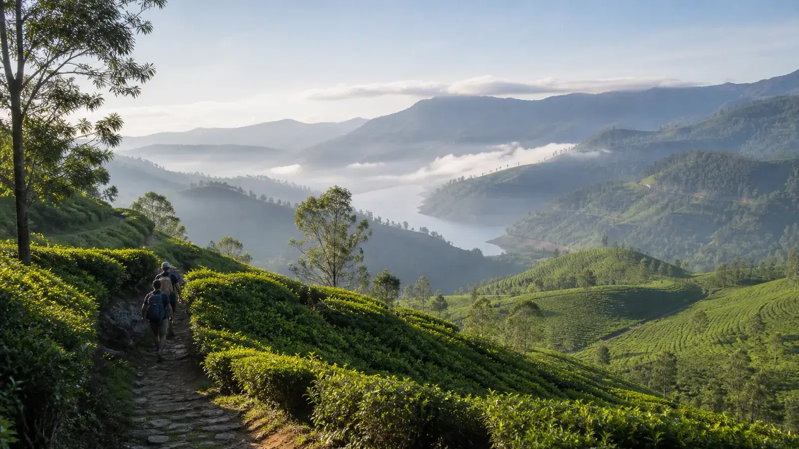
There is a moment on Stage 3, somewhere around the four and a half kilometre mark, where you cross a mountain pass and the entire landscape changes. Behind you is the tea country you have been walking through since Kandy. In front of you is the Kotmale Valley, the Rilagala range, and on a clear day the unmistakable cone of Adam's Peak on the horizon.
Nineteenth century accounts of this area called it the valleys beyond. The phrase sounds like colonial romanticism until you stand at the pass and understand exactly what they meant.
Stage 3 is the point where the Pekoe Trail stops being a scenic walk through inhabited tea country and starts being a proper mountain hike. It is 18.11 km, the second longest stage on the whole route. It is the first stage rated Low for people interaction, which in practice means hours without passing anybody. And it descends more than a kilometre of vertical before it finishes.
It is also, we would argue, the most rewarding of the first three stages by some distance, and the one that most justifies the effort of getting to a trailhead four kilometres up an estate road.
The centrepiece is a piece of infrastructure rather than a view. Partway through the jungle section you join the old Dimbula Road, built by British engineers more than 150 years ago to connect Kandy with the distant valleys they wanted to plant with tea. It was made for horses and bullock carts. Nature has substantially reclaimed it, but the gradient, the width and the stonework are still visibly the work of people who knew what they were doing.
This guide covers the route in detail, the current safety position, what the descent will do to your knees, and the honest question of whether you have the day and the fitness for it. Because unlike Stage 1, this is a stage where turning back halfway is a genuinely awkward proposition.
Quick Summary
- Stage 3 runs 18.11 km from Loolkandura to Tawalantenne, gaining 762 m and losing 1,020 m, with a maximum elevation of around 1,586 m
- It is the second longest stage on the Pekoe Trail and is graded Difficult in both directions
- The official average duration is 6 hours; plan on 7 to 9 hours elapsed for a typical visitor
- People interaction is rated Low, the first stage on the trail where that applies
- The route crosses the abandoned Dimbula Road, built by British engineers more than 150 years ago to link Kandy with the tea valleys
- The Stellenberg Pass at around 4.7 km opens onto the Kotmale Valley, with Adam's Peak visible on clear days
- A long 4.5 km section across Stellenberg Estate has little shade, so sun protection is essential
- The stage ends near the Glenloch Tea Factory, with a further 2 km along the main road into Tawalantenne town