
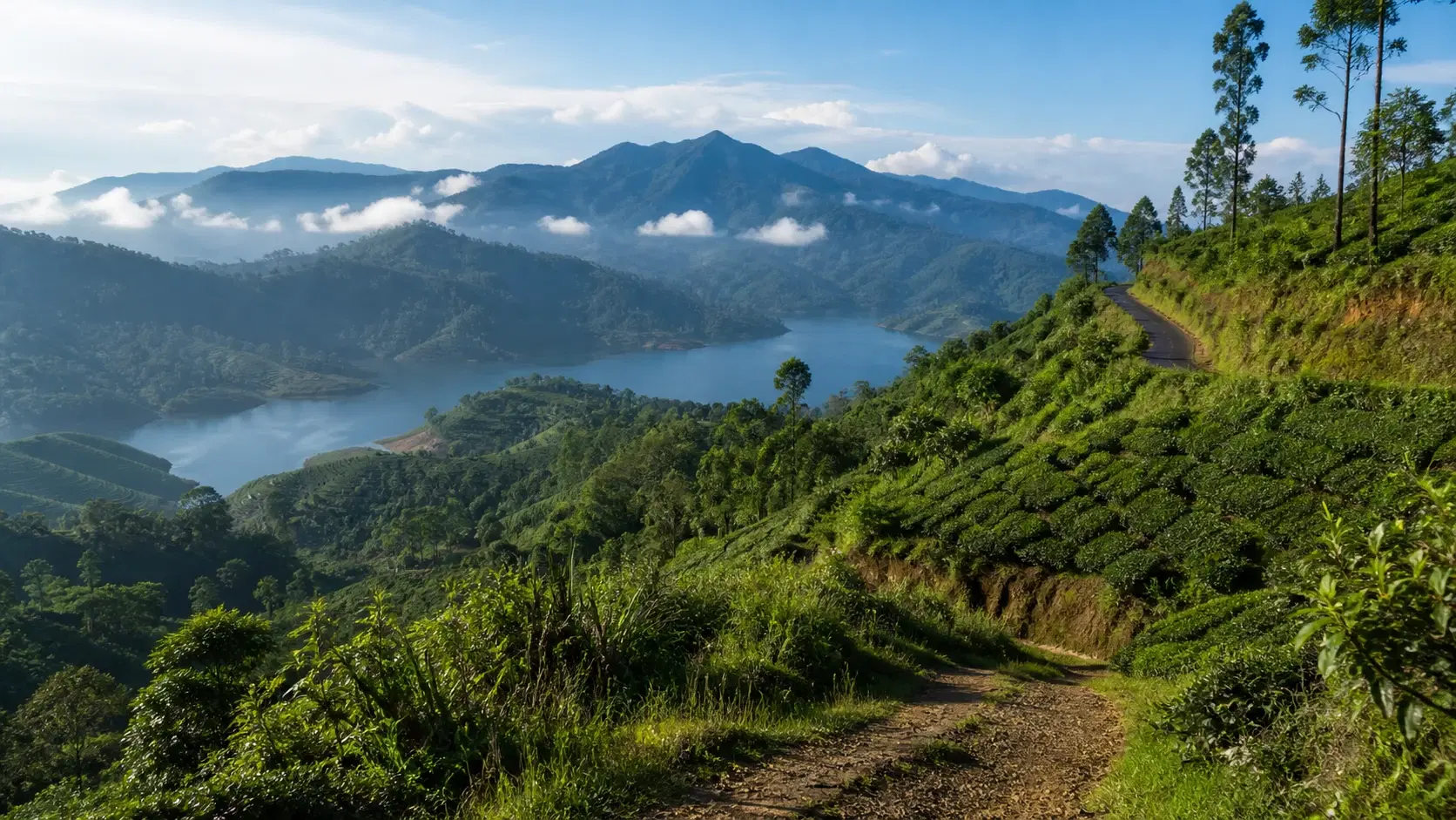
There is a view on this stage that appears on a lot of Sri Lankan tourism material: a broad, calm reservoir held between green hills, with a white stupa on the ridge above it.
What the captions rarely mention is that the water is sitting on top of a valley where people lived. Villages, tea estates and temples went under when the Kotmale Reservoir filled in the mid-1980s, and the stupa on the ridge exists specifically to commemorate the religious sites that were lost.
That combination, a genuinely beautiful landscape with an uncomfortable history directly beneath it, is what makes Stage 4 the most interesting of the first five stages to walk thoughtfully rather than just photograph.
It is also, by a considerable margin, the hardest of them physically. Stage 4 gains 1,195 m across 15.53 km. Stage 2, which everyone treats as the tough one, gains 853 m. Stage 3, the long one, gains 762 m. Stage 4 climbs more than either, in less distance than Stage 3.
And here is the part that should make you plan carefully rather than trust the headline figure: the official average duration for Stage 4 is 4 hours 30 minutes. For Stage 3, with 433 m less climbing over 2.6 km more distance, the official figure is 6 hours.
Those two numbers cannot both be describing the same kind of walking day. We will explain what we think is going on and what we would plan around instead.
This guide covers the route in detail, the history under the water, the current safety position, the confusing place-name spellings that catch people out when talking to drivers, and an honest assessment of who should attempt this stage.
Quick Summary
- Stage 4 runs 15.53 km from Tawalantenne to Pundaluoya, gaining 1,195 m and losing 1,126 m, with a maximum elevation of around 1,263 m
- That is more climbing than Stage 2 and Stage 3 combined per kilometre, and the profile rolls rather than climbing once
- The official average duration is 4 hours 30 minutes, which is 90 minutes less than Stage 3 despite far more ascent; we suggest planning 7 to 9 hours elapsed
- It is graded Difficult in both forward and reverse directions
- The centrepiece is the Kotmale Reservoir, created in the 1980s, which submerged dozens of villages, tea estates and temples
- The route joins a second abandoned British-engineered cart road, built with a gradient designed for bullock carts
- The high point comes at exactly 9 km, followed by a descent that finishes with a 4 km walk on country road into Pundaluoya
- A trail pass costs USD 10 per stage for foreign visitors, LKR 600 for Sri Lankan residents, with under-12s free