
Hatton is the largest town in this part of the hill country. It is where most travellers change transport, where the accommodation is, and where a lot of Sri Lanka's tea business is administered.
Stage 7 does not go there. It climbs a hill, gives you a view down over the town at around the 4.7 km mark, and then turns away into the estates.
That is a deliberate design choice and it tells you something about what the Pekoe Trail is trying to be. A route optimised for convenience would run through Hatton. A route optimised for what walking is actually good at goes round it.
What you get instead is one of the more socially revealing days on the whole trail. This stage walks through the estate villages: the brightly coloured line rooms that house tea workers, the Hindu kovils and Christian churches that serve them, the football grounds, the cricket club that served the planters who ran the whole system.
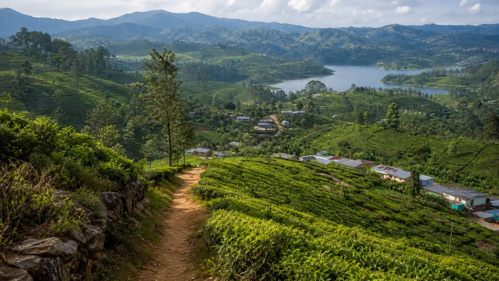
It also delivers the first sight of Castlereagh Reservoir and the Bogawantalawa Valley, which the trail organisation calls the golden bowl of Sri Lanka's finest tea. That view is the reward for the hill above Hatton and it stays with you for the second half of the stage.
Two practical things to know before you plan. Stage 7 currently carries a precaution about increased landslide risk following persistent rainfall, phrased slightly differently from the precautions on stages 2, 3 and 4. And Singamalai Lake, which the official description calls a great picnic spot, is the drinking water supply for Hatton and the surrounding villages, which changes how you should behave around it.
This guide covers the route, the estate communities, the current safety position and the practical logistics of a stage that starts and ends in small tea towns.
Quick Summary
- Stage 7 runs 16.48 km from Kotagala to Norwood, gaining 513 m and losing 614 m, to a maximum of around 1,384 m
- It is graded Moderate in both directions, with an official average duration of 5 hours; plan 6 to 8 hours elapsed
- It currently carries a precaution about increased landslide risk following persistent rainfall
- The route deliberately bypasses Hatton, giving you a hilltop view over the town at around 4.7 km without entering it
- Chrysler's Farm Tea Factory, dating to 1870, appears at around 2.3 km
- Singamalai Lake at around 6.3 km is the drinking water source for Hatton and surrounding villages
- The first views of Castlereagh Reservoir and the Bogawantalawa Valley open up from around 6.5 km onward
- The stage passes extensively through estate line rooms and worker villages, the most socially revealing walking on the trail